Home App Marine Social Social Contact us


How we built our Geo-EcoSystem ?

See below for more details.

Data Format

The first part of our journey was dedicated to the most important aspect of a Geo Product, the Data Format. We worked hard deeply studying the OpenSource environment state-of-the-art and created a good, solid Data format for our product. It is very efficent and well compressed to be transferred thru internet and fast to be used within the embedded environments.

Data Format

Aqua Map

Drawing Libraries

Why to reinvent the wheel? Our experience in the OpenSource immediately highlighted the big opportunity to create a completely new user interface, compared to what we saw so far into the embedded environment.
The user is habit to see a 20 years old interface on its chartplotter or GPS navigator, instead of what we see since at least 10 years on any PC application. Horizontal texts, 16 colors (maybe 256), no screen rotation, few Fonts style and size....all this due to the limited power of the embedded environment.
The user today shall experience the best possible map interface, and we did it.
Customizing the OpenSource libraries we have been able to render the river name aligned to the river shape, use 16 Million colors, any Font style and size, rotate the screen head up while moving, and much more.

Aqua Map

This is the first product GEC put on the iTunes market in the September 2013. We started with almost a simple Nautical Chart viewer and we have today a complete GPS Navigator with all the common functions available on any chartplotter. "Amazingly clear" this was the first reaction on the market. Our map is really clear, readable and intuitive using the power of the Retina display and realistic symbologies. Visit our Aqua Map website to learn more.

Aqua Map

Aqua Map

Terra Map

After Aqua Map we naturally evolved our product to include also land data, especially oriented to the Hiking and Biking activities. Visit our Terra Map website to learn more.

Database

Aqua Map

Aqua Map

Production System

Data mining and production

Aqua Map

Aqua Map

Web portals

Why should the user buy a "closed box"? 
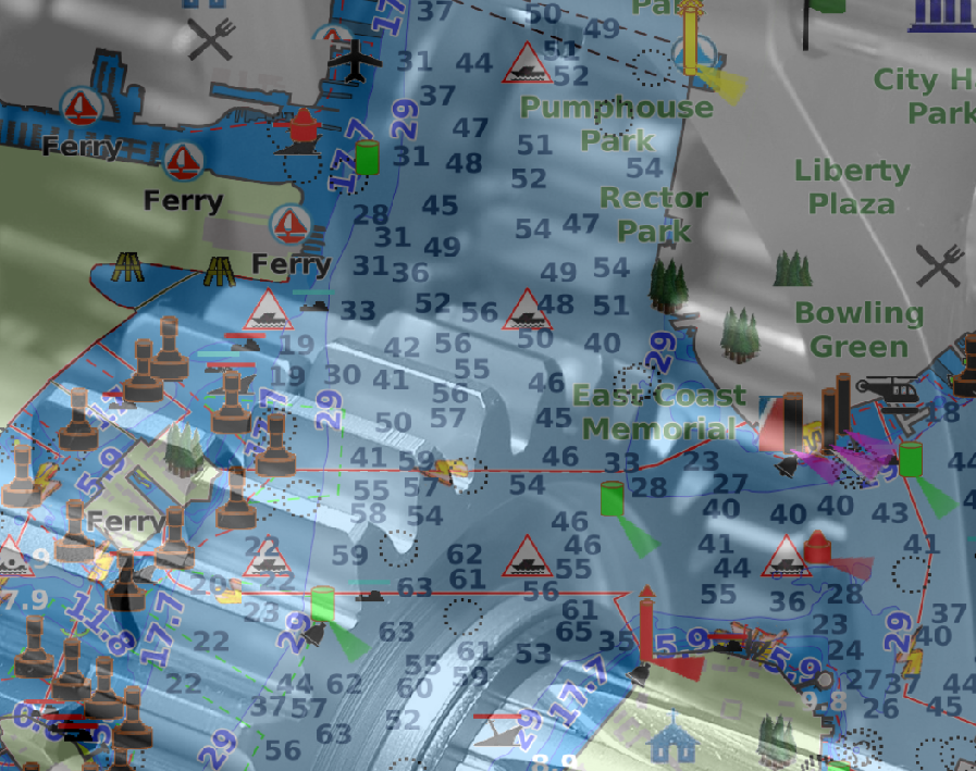
We all agreed the user should see what is paying for, before paying. For this reason we decided to setup a powerful Geo Viewer on internet for both the Aqua and Terra Map products.
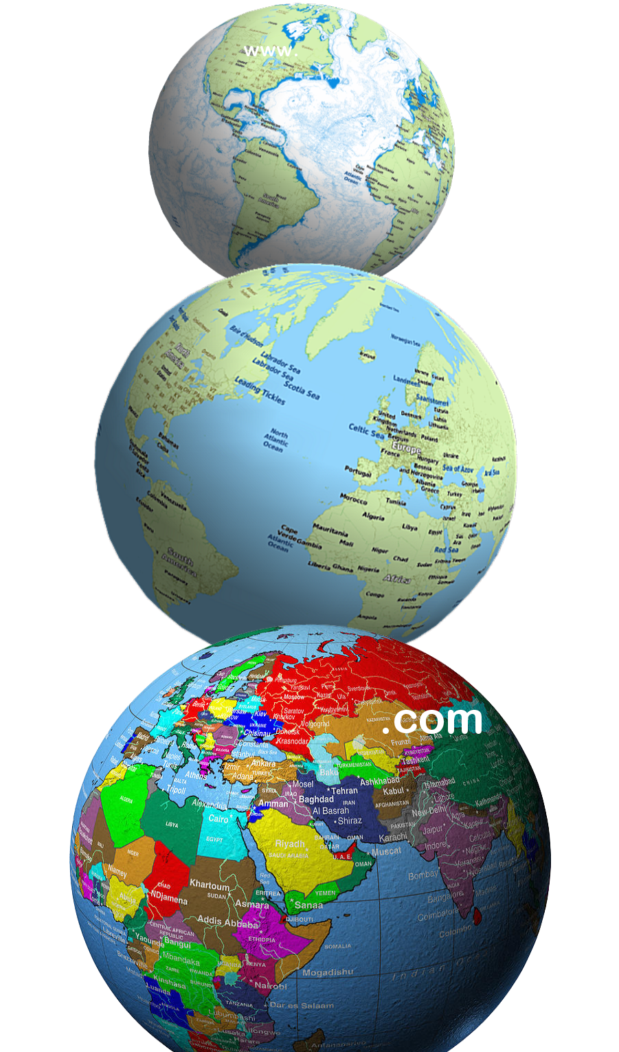
The second step was to give the user an instrument, FREE, to plan and share their activities while using our products. So we created the Geo Viewer Editor version. Here the user can play with all GPS data from the Markers to the Routes planning and GPS Tracks (also those coming from different devices or application like the GPX from Garmin or the KML, KMZ from Google). And share all this stuff with various communities.
Not easy to explain in writing, just try it !
www.globalterramaps.com/TerraViewerEditing.html

Disclaimer | Acknowledgement | Contact us | Italian